Nothing to sign up for
No account, no password, no email address needed to use any part of it.
Los Angeles · live public data
Street reports, air quality, weather, earthquakes and fires on one live map. Report a problem to the right place, then follow it until the City closes it.
No account. No ads. Works in the browser on your phone or computer.
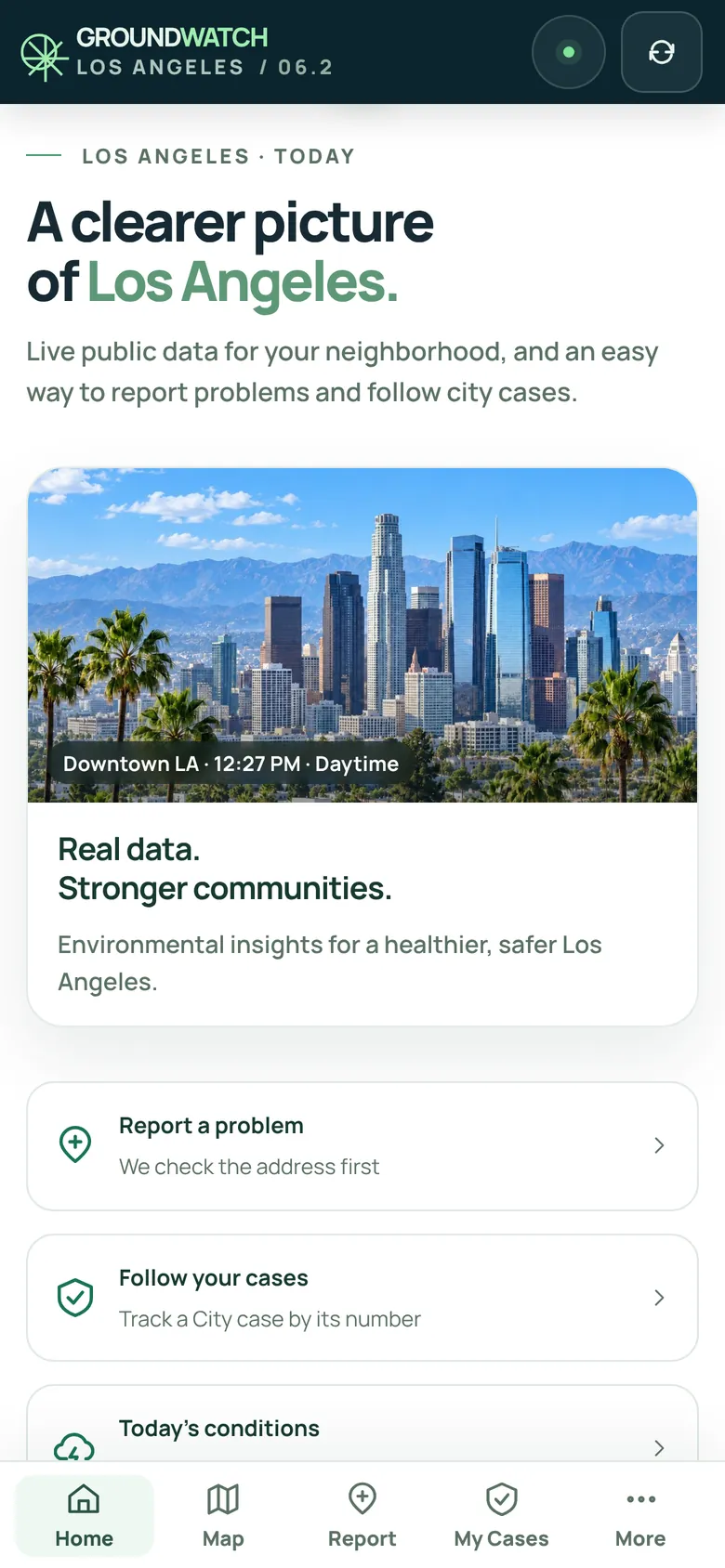
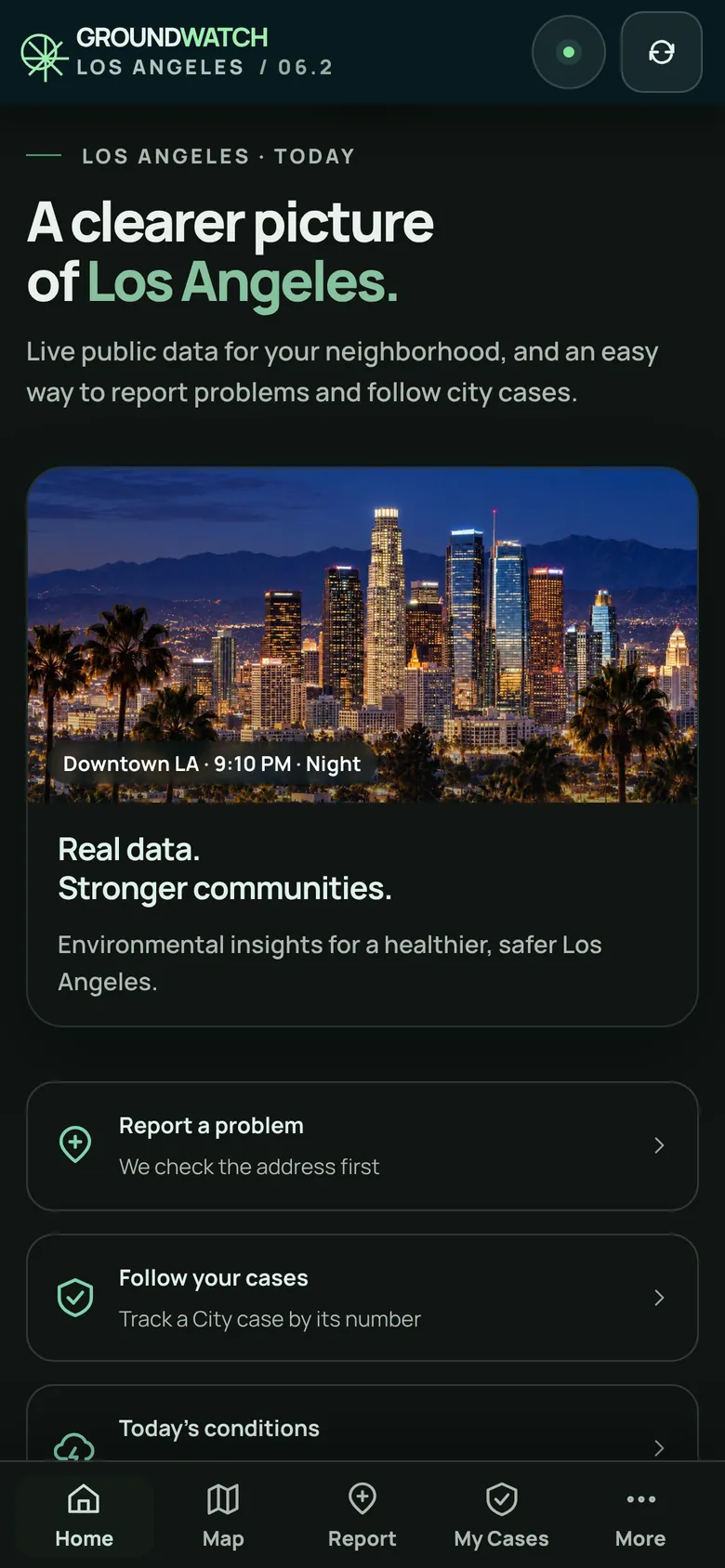
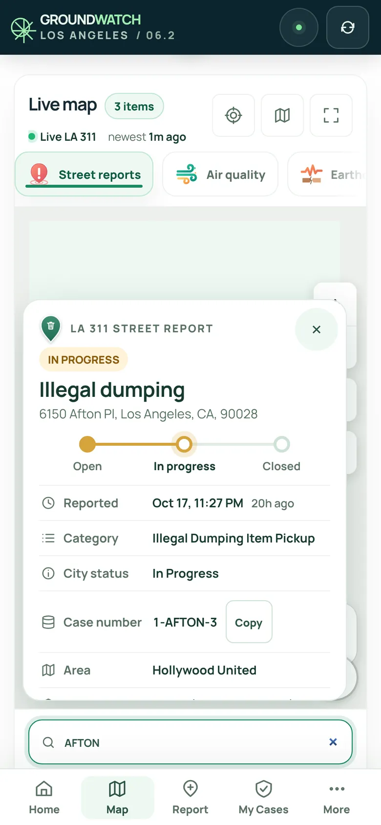
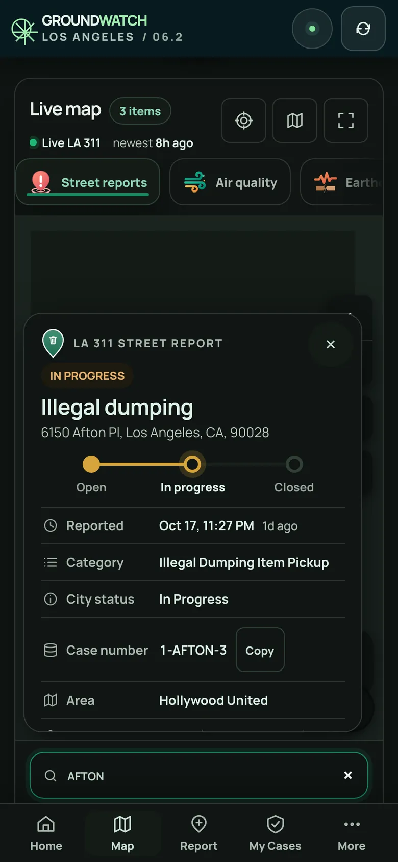
The map
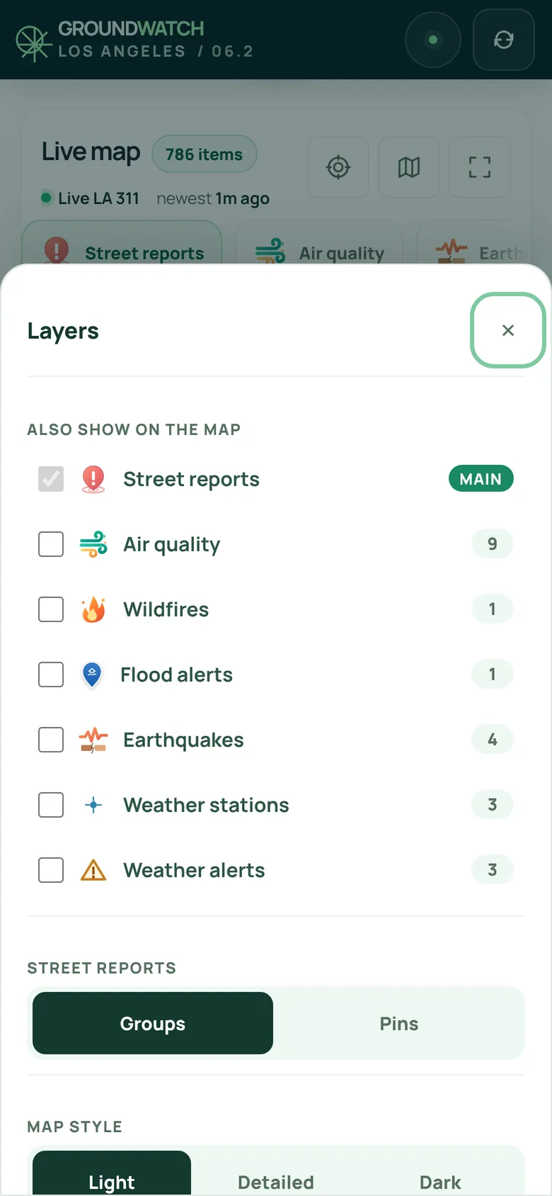
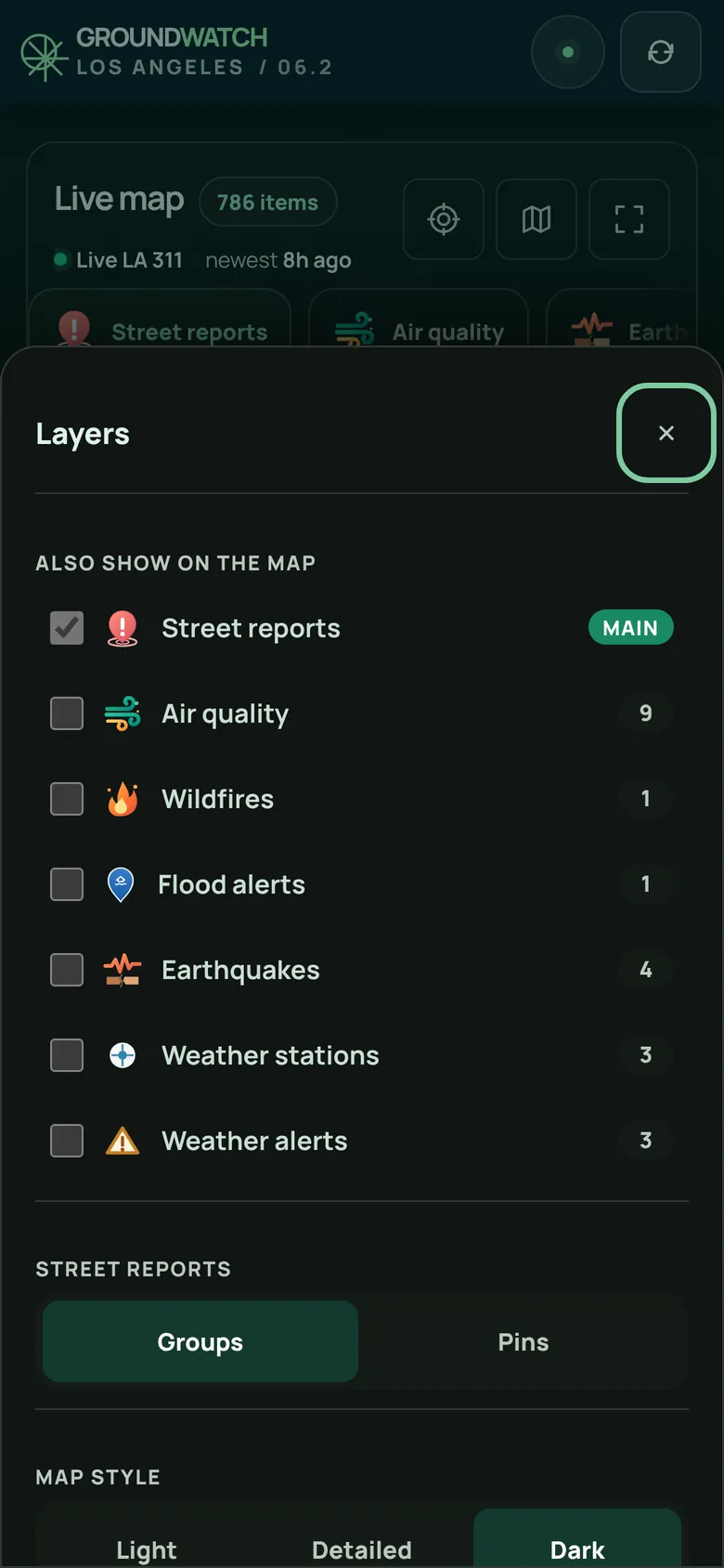
Street reports from LA 311 reach the map within about a minute of the City publishing them. Tap Layers to add air quality, fires or earthquakes on top, group reports or see every pin, and pick a light, detailed or dark map.
Tap the location button to see what's within half a mile of you, or drag the circle from a block to ten miles.
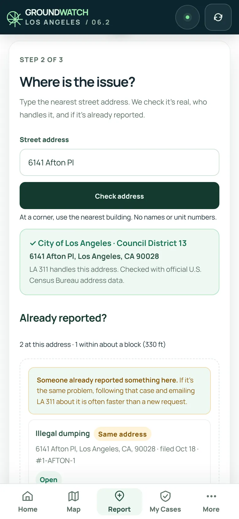
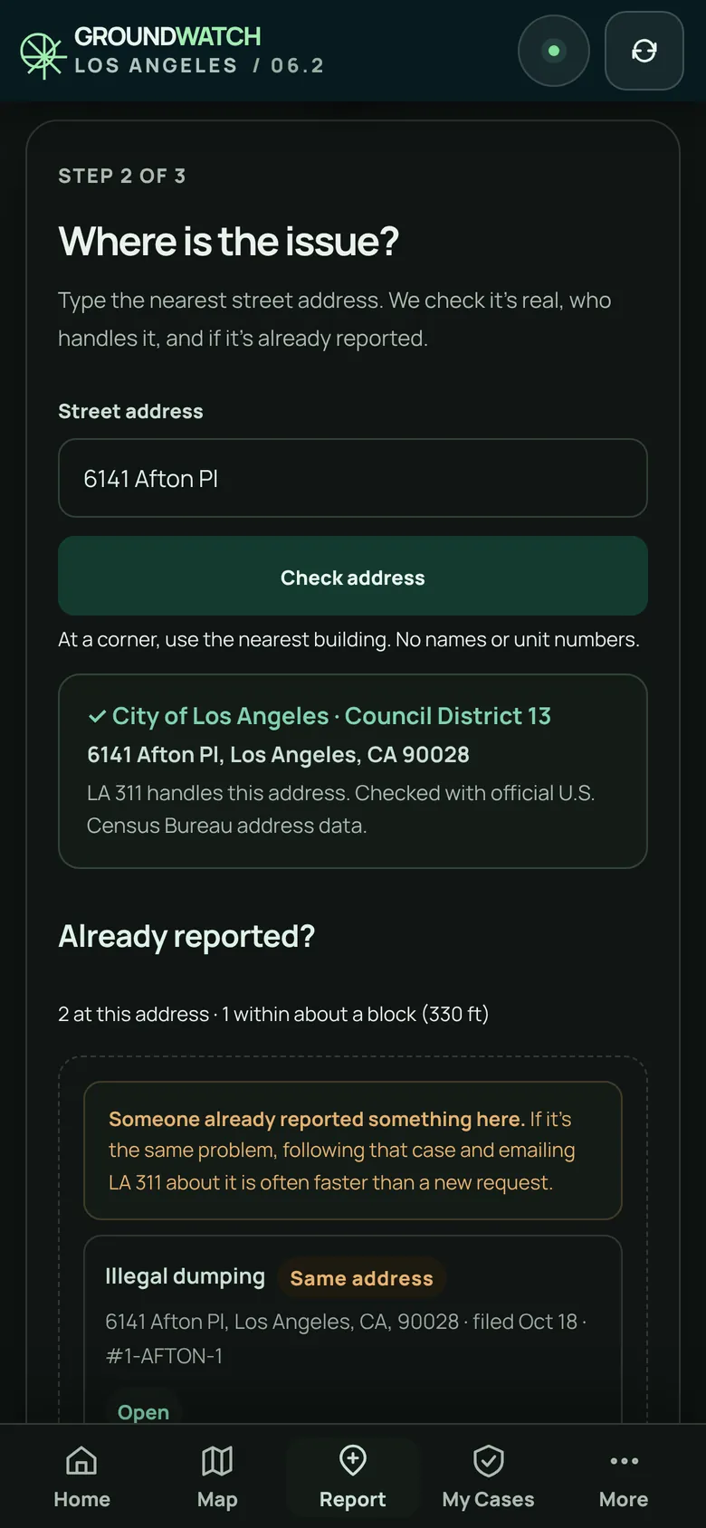
Report a problem
GroundWatch never files a request for you and never asks for your City password. You stay in charge of what's sent.
My Cases
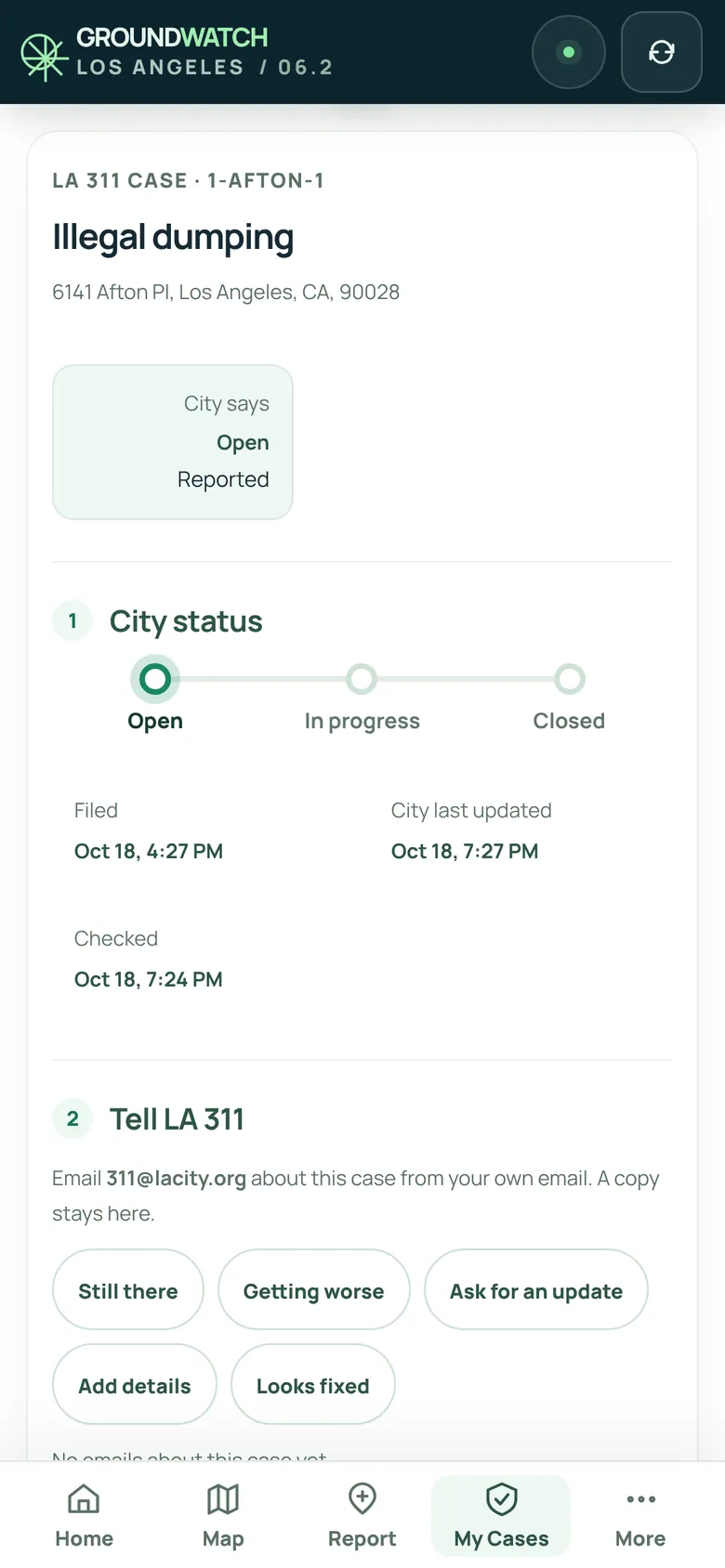
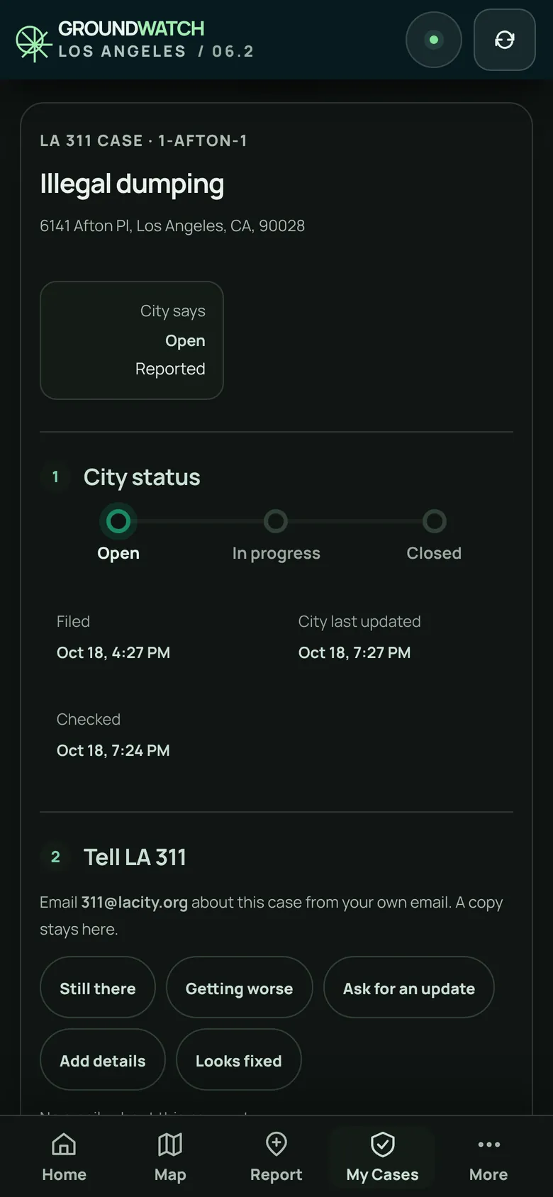
Follow any LA 311 case by its number or address. See where it stands, from Open to In progress to Closed, and when the City last touched it.
Conditions, news and alerts
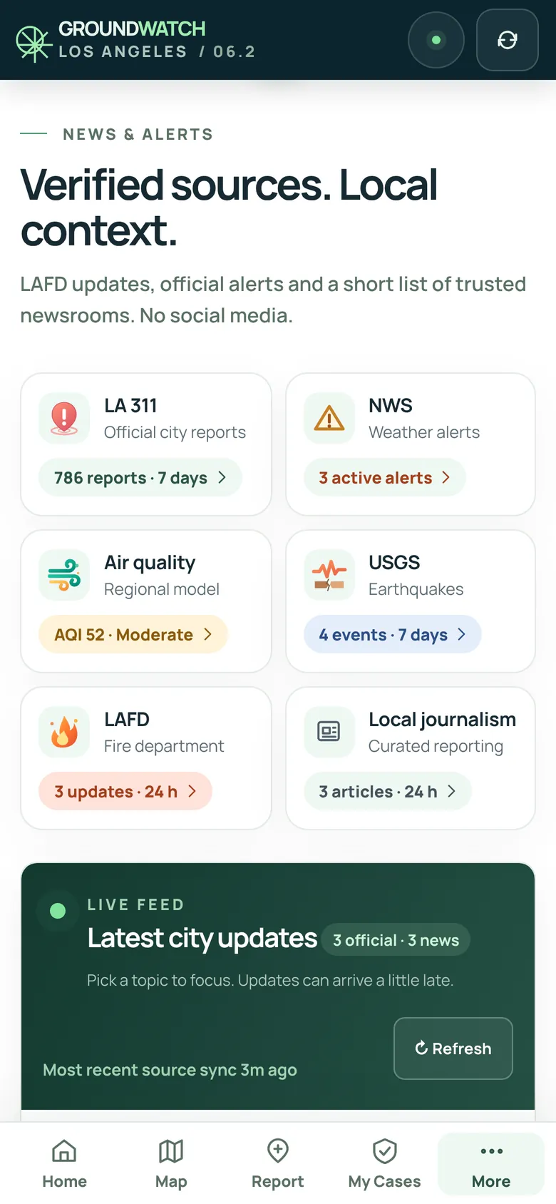
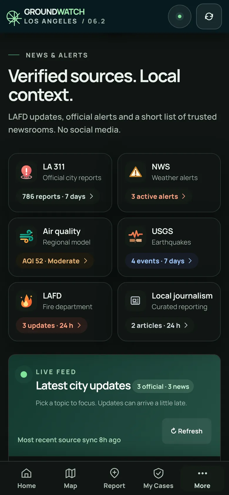
Air quality for 16 areas across LA, official National Weather Service alerts and forecasts, LAFD updates, and reporting from a short list of trusted LA newsrooms. No social media.
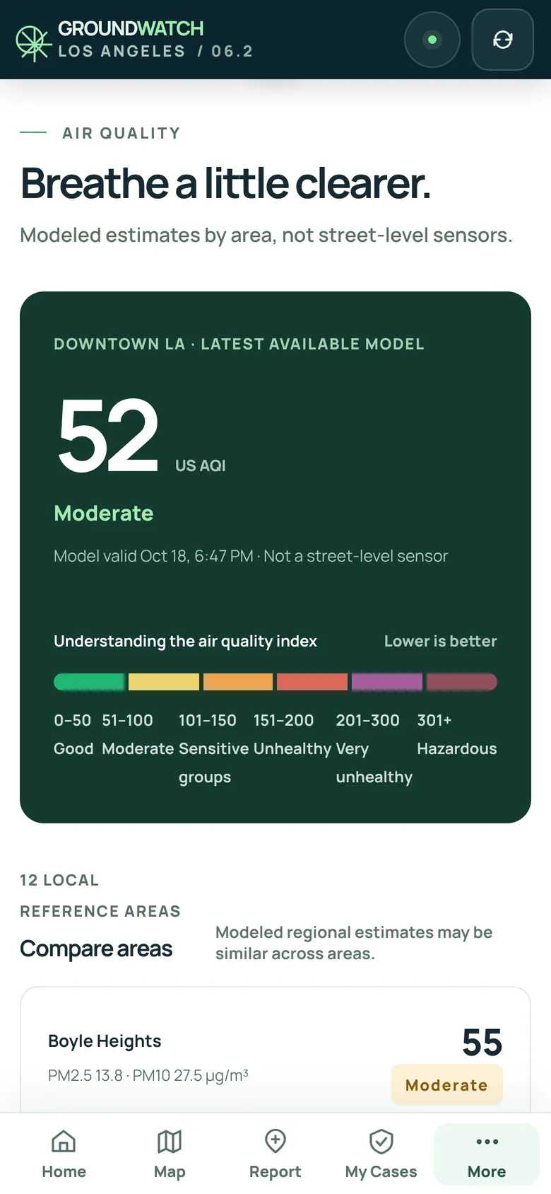
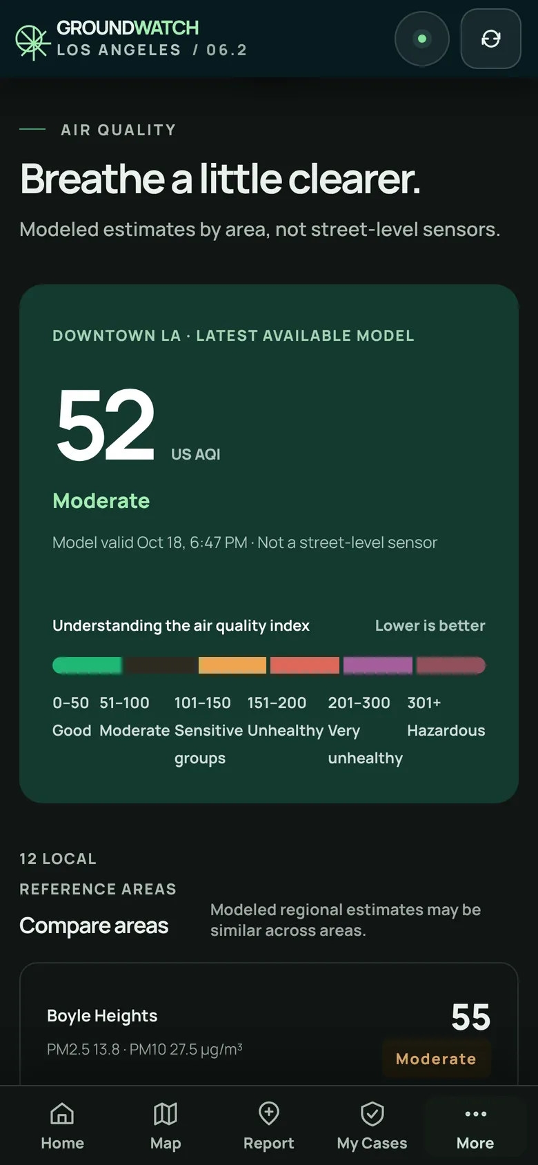
Made for your phone
Privacy
GroundWatch shows public data. What you do with it stays with you.
No account, no password, no email address needed to use any part of it.
The cases you follow, your notes and the emails you write are saved in your browser. To check on a case, only its case number is sent.
No advertising, no analytics and no tracking scripts. Fonts and the app's code are served by GroundWatch itself.
Address checks go to the U.S. Census Bureau's address service. The street map loads from OpenFreeMap. Email to LA 311 goes from your own email.
Where the data comes from
Each item says where it came from and when. GroundWatch never changes an official record.
| Source | What it shows | Kind | Checked |
|---|---|---|---|
| LA 311 (MyLA311 open data) | Street reports: dumping, bins, sweeping, flooding, animals and more | City record | every minute |
| National Weather Service | Alerts for LA County, forecasts, 7 airport weather stations | Official | 3 to 30 min |
| USGS | Earthquakes in Southern California, magnitude 1 and up | Instrument | 5 min |
| CAL FIRE and NIFC | Active wildfires, new starts and fire perimeters | Official | 5 to 15 min |
| LAFD | Los Angeles Fire Department alerts | Official | 5 min |
| Open-Meteo (CAMS) | Air quality estimates for 16 areas | Model | 30 min |
| Trusted LA newsrooms | Local reporting from an allowlist of newsrooms | Curated news | 10 min |
A case number on the map is the City's record of a request; it doesn't confirm what was reported. Air quality figures are model estimates by area, not street-level sensors. The street map is © OpenStreetMap contributors, served by OpenFreeMap.
Questions
No. GroundWatch LA is an independent project. It isn't affiliated with, or endorsed by, the City or County of Los Angeles. It shows their public data and links you to their official services.
No. It helps you choose the right place and writes an email for you if you want one, but you send the request yourself through MyLA311, by calling 311, or from your own email.
No. For an emergency, call 911. For official evacuation orders and warnings, follow the LAFD, the National Weather Service and your local emergency alerts.
The map covers the Los Angeles area. When you check an address in another city, such as Santa Monica, or in an unincorporated part of the County, GroundWatch tells you which city or County office handles it and points you there.
Nothing. There are no ads, no purchases and no account.
Open GroundWatch LA in your browser. Nothing to install, nothing to sign up for.
See the app